The Complex Puzzle of Urban Mobility
Every public transportation route you see on a city map represents hundreds of decisions, negotiations, and calculations. Planners must consider geography, population density, social needs, and even psychology — how far people are willing to walk to a bus stop. The goal is to design routes that connect the maximum number of people with the minimum amount of resources and disruption. But the process is far from straightforward.
When a new neighborhood is built or a business district expands, planners need to anticipate demand long before the first passenger boards a bus. They model expected ridership using population data, commuting patterns, and local habits. What looks like a simple bus line on paper is really the visible tip of a massive logistical effort to balance time, space, and human behavior.
Data and Algorithms Behind Route Planning
Modern transit planning relies heavily on data. Cities now use GPS traces, ticketing information, and smartphone mobility data to understand where and when people move. Algorithms simulate various scenarios — what happens if a line is extended, shortened, or rerouted — allowing planners to predict travel times, congestion, and service efficiency.
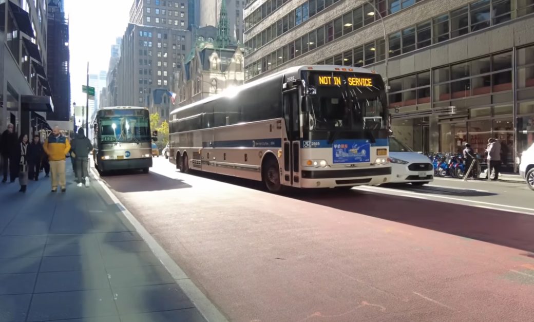
For example, Transport for London uses “Origin-Destination” data sets to analyze millions of trips and adjust routes accordingly. In New York, planners combine MTA turnstile data with taxi and Uber statistics to detect unmet demand. The science behind these systems is constantly evolving. Artificial intelligence now helps cities test virtual route models before implementing real ones, reducing cost and public frustration.
Balancing Efficiency With Accessibility
Data might optimize speed, but humans demand fairness. A route that perfectly serves downtown commuters might ignore lower-income neighborhoods that rely most on public transit. Balancing efficiency with accessibility is a moral and political challenge. Many cities use what’s called “equity mapping,” which overlays transport coverage with socioeconomic data to identify underserved communities.
Seattle’s Metro Transit, for instance, expanded weekend service in historically neglected areas after public consultations revealed that many night-shift workers had no reliable transport. These are not just technical fixes — they’re decisions that affect inclusion, job access, and urban equality. In many ways, transit maps are political maps.
Political and Social Factors in Route Decisions
Not every decision comes from data or efficiency models. Politics often enters the picture. Local councils may push for routes through certain districts for visibility, votes, or development incentives. Meanwhile, residents may resist routes that bring noise or crowds to their streets. The result is a constant negotiation between public demand, expert advice, and political will.
Public hearings, environmental assessments, and funding approvals can delay or reshape projects. A single route extension can take years from concept to operation. Yet this messy process is also democratic — it allows citizens to influence the systems that shape their cities. When communities speak, maps change.
Real-World Case Studies From Major Cities
In Toronto, the TTC recently redesigned its entire bus network to align better with late-shift workers and suburban commuters. Planners used heat maps showing “last-mile” gaps — areas too far from any stop — and redirected routes to fill them. In Paris, the RATP authority restructured night bus services based on nightlife patterns and police safety data. In both cases, success came from merging data analytics with real-world observation.
Other cities take a more experimental approach. In Helsinki, a “Mobility as a Service” pilot allowed citizens to design their own preferred routes through an app, and the most popular paths became part of official bus lines. The feedback loop between planners and passengers is shrinking fast.
The Future of Dynamic Public Transit
The next frontier is adaptability. Instead of fixed routes, some cities are testing flexible, data-driven systems that change based on real-time demand. Think of it as UberPool for public transport — buses that adjust paths depending on who requests service and where. While this model works well in low-density areas, it also raises questions about fairness and access for those without digital tools.
Public transport will always be a mix of science, policy, and empathy. A bus line is more than a logistical path — it’s a social promise: that every person, regardless of where they live, can move freely through the shared fabric of the city.